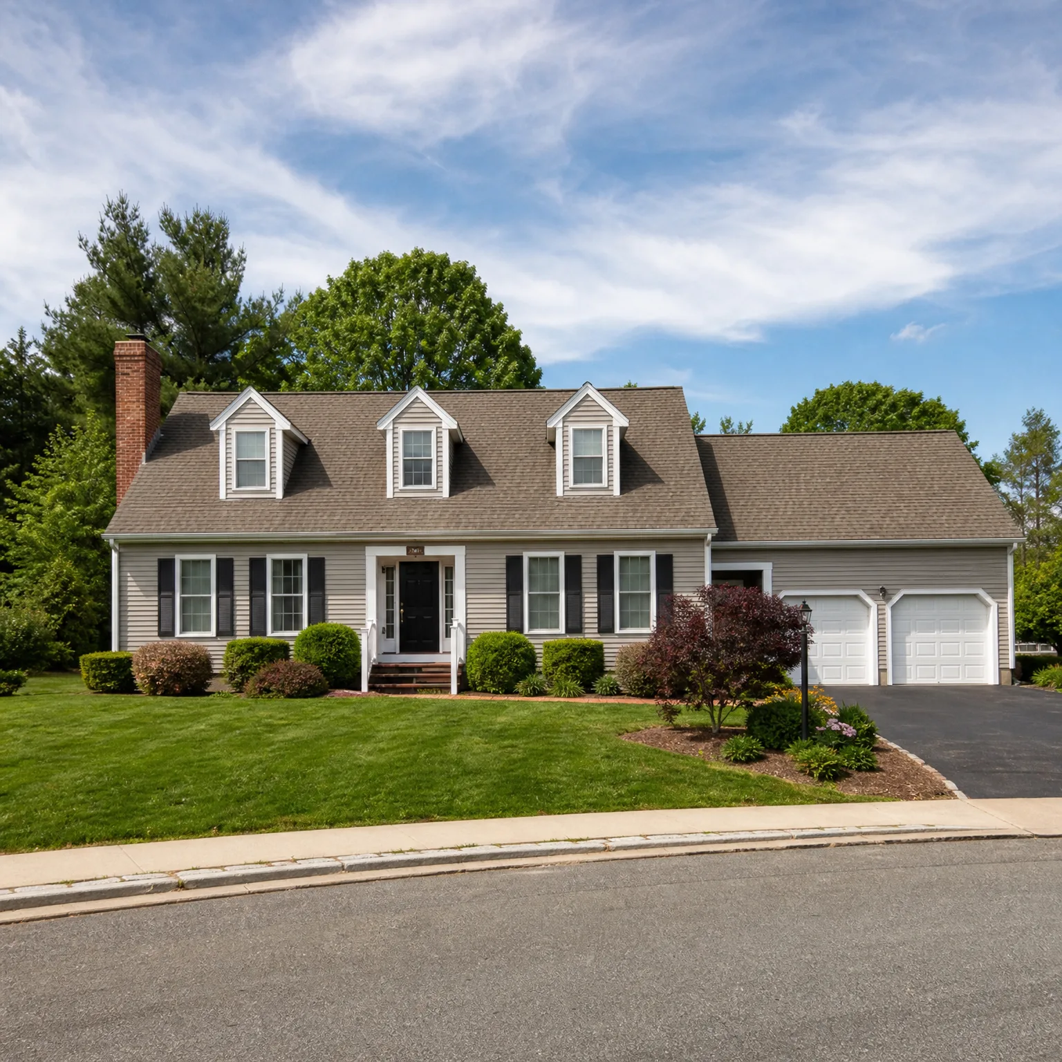
Are Flood Maps Based on Elevation?
Elevation is one factor. Maps also weigh rainfall, soil, nearby water, and local drainage, so your flood zone isn't elevation alone.
Free to compare
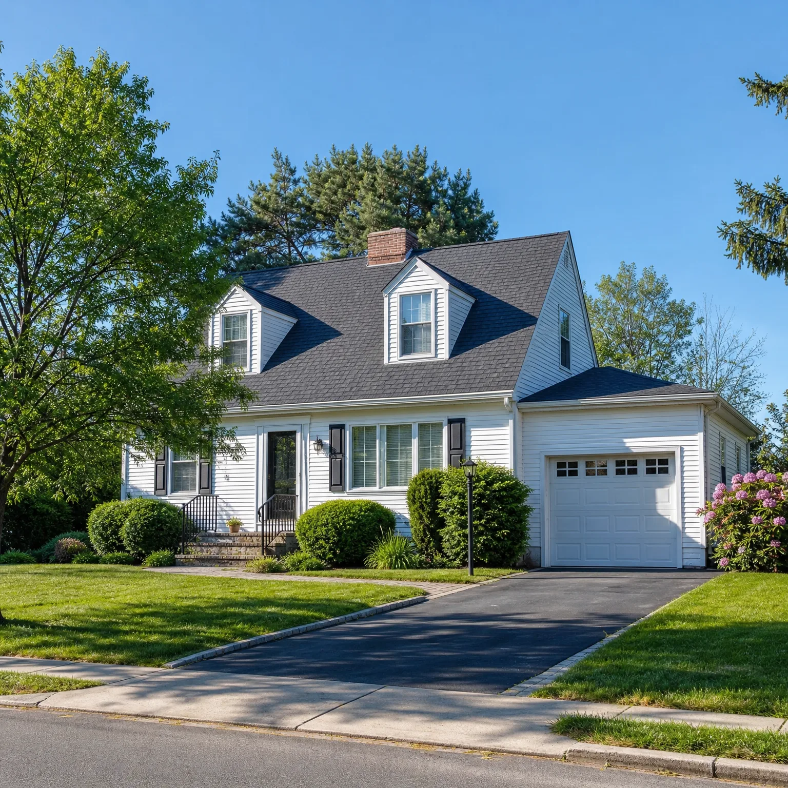
Your lender checks the flood zone on the federal map for this address, not elevation on its own. If the house sits in a high-risk zone, flood insurance becomes a condition of the mortgage, separate from the homeowners policy covering the structure and your things. Outside that zone, flood coverage is optional, though a few feet of grading can still mean water in a basement. Ask the title company or lender for the property's zone determination before closing. That determination sets your requirement, not the elevation number by itself.

A homeowners policy you line up before closing won't touch flood damage either way, so the zone determination matters for what you still need to arrange, not just for the lender's checklist. If flood coverage turns out to be required, pricing it alongside your homeowners policy before closing avoids a scramble later and shows what the two together actually cost.
What does a flood zone actually tell you about risk
A high-risk zone on the federal map means the area has at least a 1 in 4 chance of flooding over a 30-year mortgage, not that every house in it floods the same amount or the same way. Two homes on the same street can sit at different elevations, have different foundations, and drain differently after a storm. The zone is a baseline set by modeling an entire area, not a measurement of your specific lot.
Being outside the high-risk zone doesn't mean no risk. Zones labeled moderate or low still see flood claims every year, just less often. Water doesn't read the map boundary. A heavy rain event, a blocked storm drain, or snowmelt from higher ground nearby can put water into a house that was never required to carry flood coverage. That's the gap a lot of buyers don't learn about until after they own the place.
If elevation matters this much to the reader, an elevation certificate is the document that actually measures it. It records the height of the house relative to the base flood elevation set for that area, and it's a separate document from the zone determination. Some sellers already have one. If not, a surveyor can produce one. It won't change what the lender requires based on the zone, but it can affect the cost of flood coverage if it turns out to be needed, since a house built higher than the base flood elevation is a different risk than one built at or below it.
None of this changes what a homeowners policy does. It still won't pay for flood damage no matter how the elevation certificate reads or which zone the address falls into. The zone determination and the elevation certificate both feed into whether flood coverage is required and what it might cost, which is worth knowing before closing rather than after the first heavy rain.
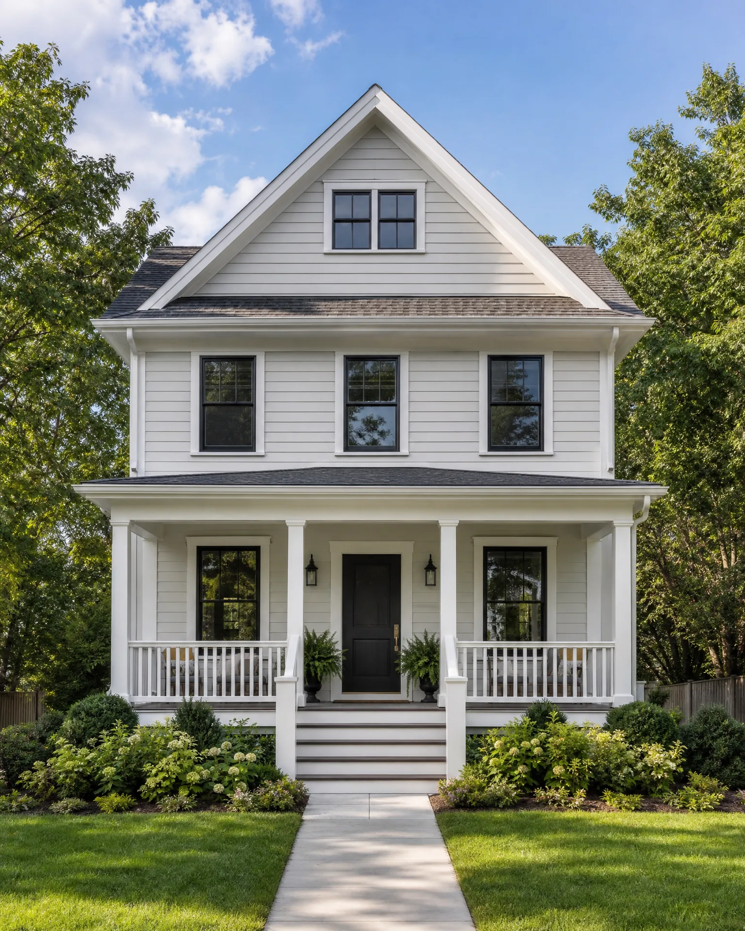
How often do flood maps get updated, and can they change after closing
Federal flood maps aren't fixed documents. FEMA revises them county by county as better data comes in, new drainage patterns emerge, or development changes how water moves through an area. A map that showed a property outside the high-risk zone five years ago can be redrawn to include it, and the reverse happens too. There's no set schedule the reader can check for a specific address. Updates happen when a county's map gets restudied, which can be years apart or, in areas with a lot of construction or repeated flooding, sooner.
If a map changes after closing and the house lands in a high-risk zone for the first time, the lender will typically require flood insurance at that point, not just at the original closing. That notice usually comes through the mortgage servicer, sometimes with a short window to get coverage in place before the lender force-places a policy on the reader's behalf, which tends to cost more and cover less than one bought directly. Keeping an eye on whether the county has an active map revision in progress is worth doing even after moving in, though most buyers never think to.
The reverse situation comes up too. A house mapped into a high-risk zone can be remapped out of one, often because of a levee, floodwall, or drainage project finished after the original map was drawn. When that happens, flood insurance stops being a lender requirement, though nothing about the physical risk necessarily changed overnight just because the map did. Some owners keep the coverage anyway once they've seen what it actually protects.
None of this touches the homeowners policy lined up before closing. That policy's coverage for the structure and belongings doesn't shift based on flood map revisions, and it still excludes flood damage regardless of which zone the map puts the house in this year or next. The map determines whether flood insurance is required and what it costs, not whether homeowners insurance needs to change.

Before you close
Get the zone determination in writing from the title company or lender now, and check it against the elevation certificate if the seller has one. That's what decides whether flood coverage sits alongside your homeowners policy.